3 hrs
Brussels
Brussels Off the Beaten Path: A Private Local Walking Tour
✓ Free cancellation Kids friendly
4.9(18 reviews)
From €186/ person
Book Now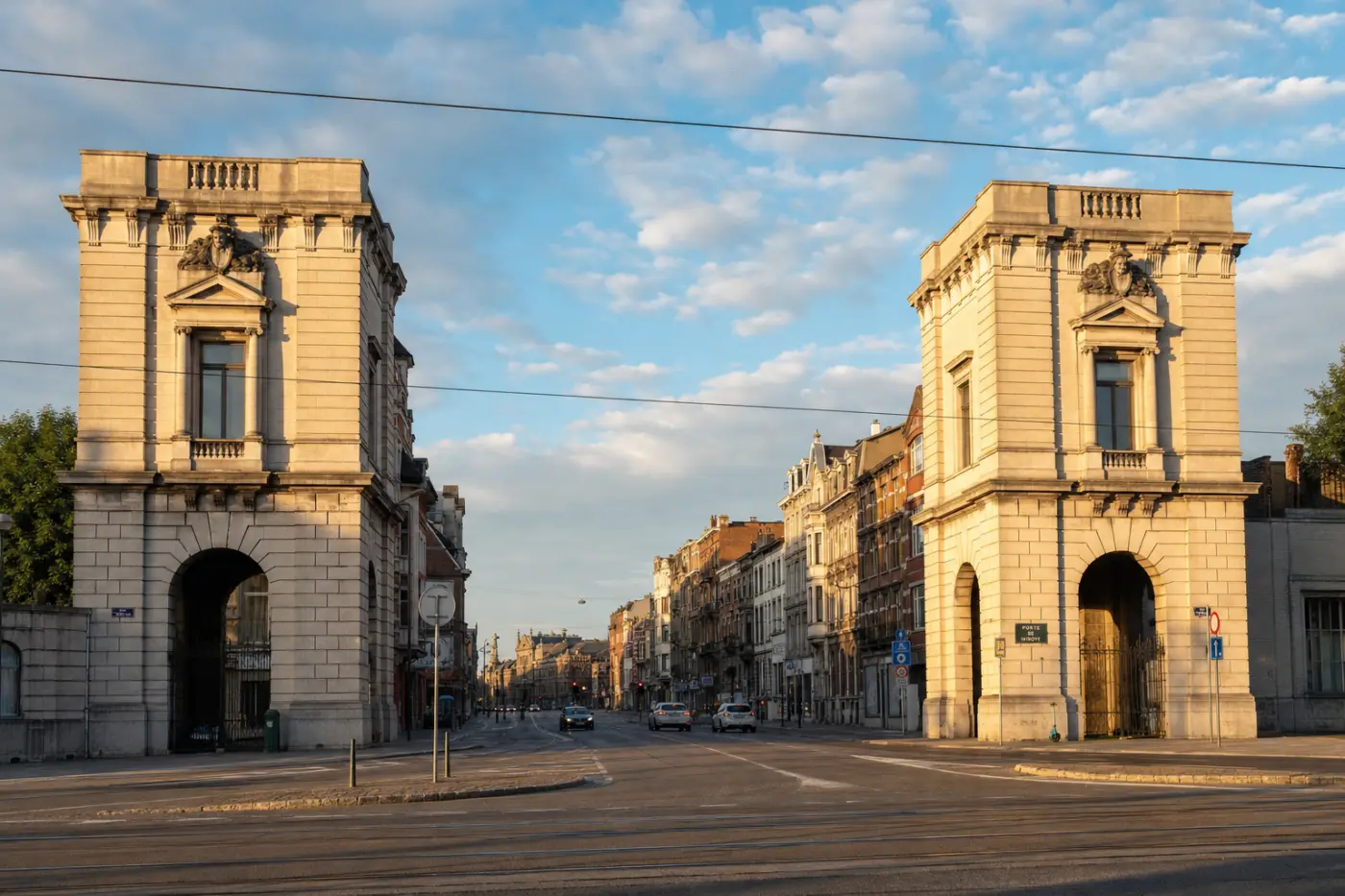
Tourist attraction
The Porte de Ninove is one of Brussels' most historically layered urban sites, marking the point on the city's western edge where the old road to the town of Ninove — roughly 30 kilometres to the southwest — once passed through the second medieval ring of fortifications. As early as 1649, as recorded on Johannes Blaeu's plan of the city, the site was not yet a true gate at all: only the Senne de Ransfort, a branch of the river Senne, crossed the ramparts here, flanked by agricultural land and the Kleine Spui (Petite Écluse), a sluice gate depicted prominently in Bonnecroy's panoramic view of Brussels painted in 1664–65. The nearest city gates at that time were the Porte d'Anderlecht to the south and the Porte de Flandre to the north.
Urbanisation crept slowly toward the site. By 1805, the former domain of the Carthusian monastery — visible on 18th-century maps as a large enclosed property — had been subdivided, and two new streets, the Rue des Fabriques and the Rue de la Senne, cut through its grounds. The decisive transformation came in the 1820s: by 1823, the second ring of ramparts was being dismantled under the orders of the Dutch administration of King William I, the Chaussée de Ninove was formally laid out, and the Porte de Ninove became a functioning city gate for the first time. Paired octroi pavilions — toll and customs houses where goods entering the city were taxed — were erected to control this new artery. The handsome neoclassical pavilions that stand today date from this period of reconstruction and are classified as protected heritage monuments by the Brussels-Capital Region.
The two symmetrical octroi pavilions are built in a restrained Neoclassical style typical of the late Dutch-period public architecture of the 1820s–1830s: dressed stone facades, arched ground-floor openings, and a compact, cubic massing that was designed to project municipal authority at the city threshold. They once flanked a continuous flow of carts, livestock, and merchants paying duties on wine, grain, and livestock before entering the capital. The surrounding area developed rapidly after Belgium's independence in 1830, filling in with workers' housing, factories along the Senne, and later the construction of the Brussels–Charleroi canal infrastructure nearby. The ancient Ferme de Ransfort, which had occupied the site for centuries, was demolished in this period to make way for the new urban fabric.
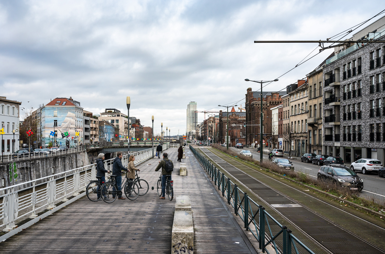
Today the Porte de Ninove sits at a busy intersection between the Anderlecht and Molenbeek districts, still bisected by the Chaussée de Ninove. The two pavilions survive in situ, making them a rare and tangible remnant of early 19th-century Brussels at a moment when the city was physically reshaping itself from a walled medieval town into a modern capital. Visitors can examine the pavilions' stonework and proportions up close; the surrounding public space is the subject of an ongoing urban regeneration project — the PAD Porte de Ninove — driven by residents and the Brussels-Capital Region seeking to transform the area into a large canal-side park. The site is easily reached by tram or on foot from the city centre, and pairs well with a walk along the nearby Brussels–Charleroi Canal.
Private tours with a local guide, at your own pace.
Brussels
Brussels
Brussels
Brussels
Brussels
Brussels

Brussels
We use a single cookie, to remember this choice. We do not use analytics or advertising cookies. Read our cookie policy.