8 hrs
Lisboa
Sintra, Cascais & Estoril Private Tour - Palace Regaleira Tickets
✓ Free cancellation Kids friendly
4.7(14 reviews)
From €375/ person
Book Now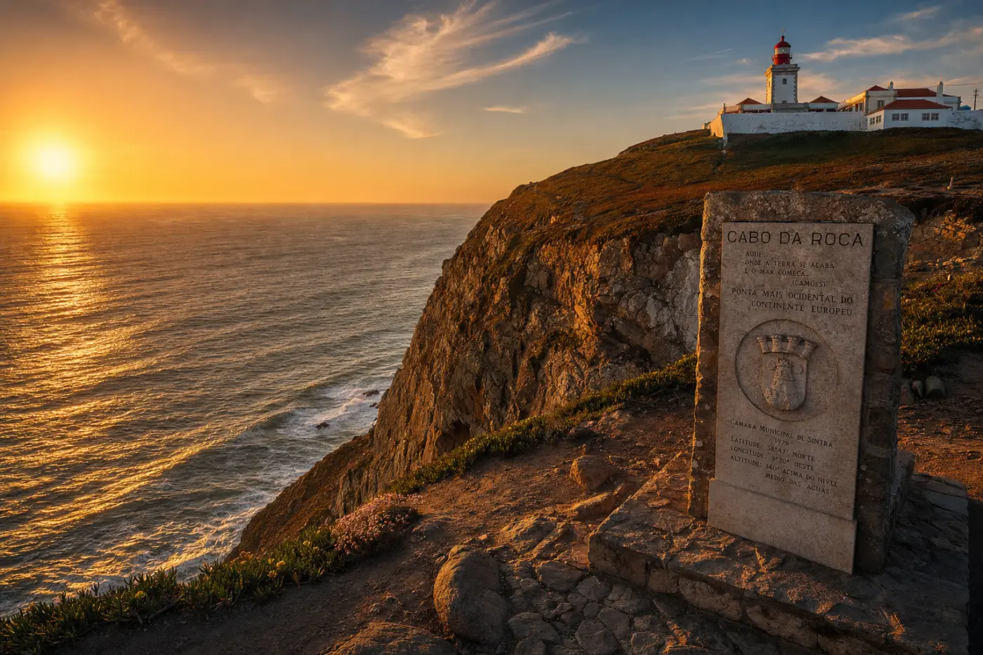
Tourist attraction
Cabo da Roca is the westernmost point of continental Europe, a sheer granite promontory that rises 140 metres above the Atlantic Ocean at coordinates 38°47′N, 9°30′W, within the Sintra-Cascais Natural Park in the municipality of Sintra. The cape was already known to ancient geographers — the Romans called it Promontorium Magnum — and it appears on Ptolemy's 2nd-century maps as the outermost edge of the known world. That reputation endured through the Age of Discovery, when Portuguese navigators departing from the Tagus estuary would round this headland as their last confirmed sighting of home before crossing into open ocean. The 16th-century poet Luís de Camões immortalised the cape in Os Lusíadas (1572) with the verse "Onde a terra se acaba e o mar começa" — "Where the land ends and the sea begins" — words that are engraved on a stone monument standing beside the lighthouse to this day.
The cape's strategic position made it a defended landmark for centuries. A fort was constructed here in the 17th century to guard the approaches to the Tagus, and the current lighthouse — a whitewashed, red-roofed tower standing 165 metres above sea level — was built in 1772 under the Marquis of Pombal's programme of coastal modernisation following the 1755 Lisbon earthquake. That lighthouse is still operational, its beam reaching 26 nautical miles out to sea. The surrounding cliffs are part of one of the windiest stretches of coastline in Europe, battered by the full force of North Atlantic swells generated thousands of kilometres away, and the vegetation reflects it: low-growing gorse, rosemary, and the endemic Armeria pseudoarmeria — a pink-flowered sea thrift found almost nowhere else on Earth — cling to the crags in defiance of the salt-laden gales.
Visitors arriving at the cape are confronted immediately with the physical drama of the landscape: the cliff edge drops almost vertically to black rocks and churning white surf below, while the horizon stretches unbroken to the west — the next landfall in that direction is the coast of Newfoundland, roughly 5,700 kilometres away. The site itself is intentionally sparse: a small visitor centre, a café, and a gift shop where you can purchase an official certificate confirming you have stood at the westernmost tip of Europe — a tradition that has been running for decades. The lighthouse is visible from the parking area but not open to the public. The viewing platform and the Camões monument are the true focal points, and at sunset, when the sun drops directly into the ocean ahead of you, the light turns the granite cliffs amber and the sea a deep copper — one of the most photographed moments in the Lisbon region.
Cabo da Roca sits 40 kilometres west of Lisbon and is most conveniently reached by combining the Sintra rail line (departing Lisbon Rossio station, journey time approximately 40 minutes) with bus line 403 from Sintra town, which continues to the cape year-round. By car, the drive via the A16 and N247 coastal road takes around 45 minutes from central Lisbon, with a small free car park at the cape itself. Wind is constant and strong regardless of season — bring a layer even in summer, when temperatures at the cape can be 8–10°C cooler than in Lisbon. The site is open at all hours and free to enter; the visitor centre where certificates are issued keeps daytime hours. Combining the visit with the UNESCO-listed palaces of Sintra and the beaches of Guincho (4 km south) makes for a full day on the Atlantic coast.
Private tours with a local guide, at your own pace.
Lisboa
Lisboa
Lisboa
Lisboa

Lisboa
Lisboa

Lisboa
Lisboa
Lisboa
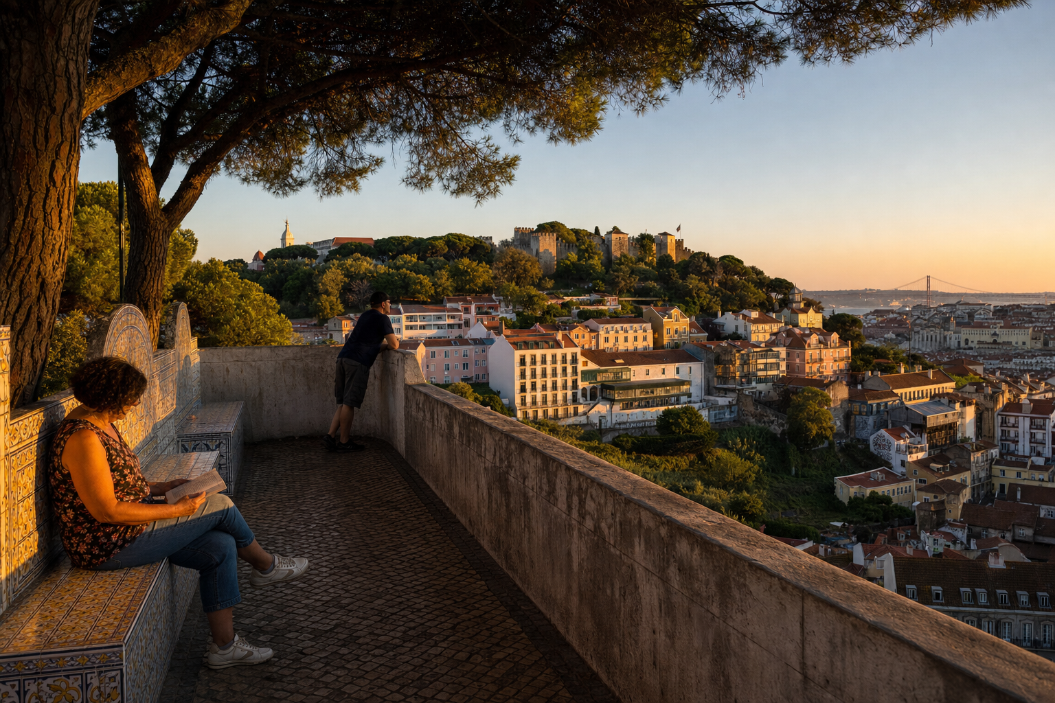
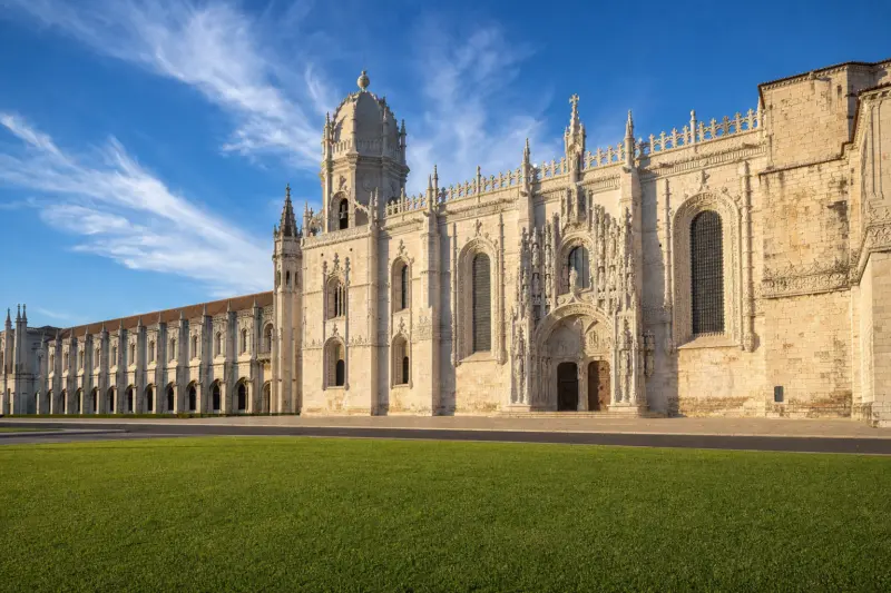
On the morning of 1 November 1755 — All Saints' Day — a catastrophic earthquake followed by a tsunami and fire destroyed roughly 85% of Lisbon. What you walk through today is, in large part, a city deliberately rebuilt from scratch. But not all of it. Alfama, clinging to its bedrock ridge above the Tagus, survived almost untouched. Mouraria, pressed against the castle hill, kept its labyrinthine medieval lanes. Belém, several kilometres west, was far enough from the epicentre to preserve its extraordinary Manueline monuments. These geological and historical accidents shaped the city's character as profoundly as any monarch or architect — and they explain why Lisbon's neighborhoods feel so radically different from one another, even when separated by a ten-minute walk. This guide goes beyond the postcard version. It digs into the specific histories, architectural DNA, and cultural layers that make each district genuinely distinct — and tells you what you'd actually miss if you only followed the crowds.
Read more →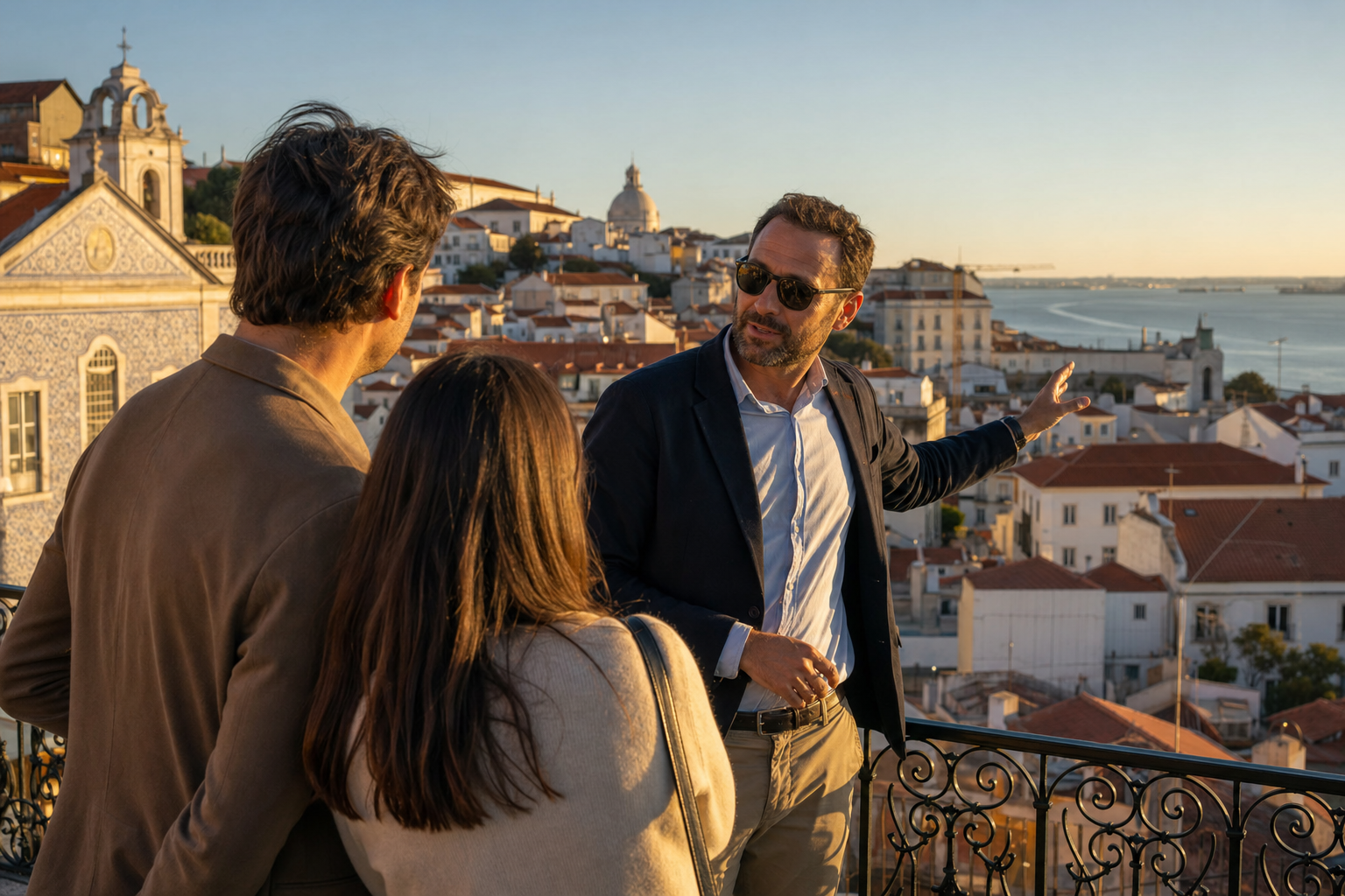
On the morning of 1 November 1755 — All Saints' Day — a catastrophic earthquake, followed by a tsunami and firestorm, killed between 30,000 and 40,000 people and erased the medieval centre of Lisbon in under six minutes. The city that rose from the rubble was rebuilt on an entirely different logic: the rational Pombaline grid of Baixa, named after the Marquis of Pombal who oversaw the reconstruction. That rupture still defines every street, tile panel, and viewpoint you encounter today — but almost no group tour has the time or flexibility to explain why. Lisbon is not one city; it is at least four, stacked across seven hills, shaped by a global maritime empire, a catastrophic earthquake, and centuries of cultural layering that even most visitors who have been here before have only scratched the surface of. That is precisely why private tours in Lisbon work so differently from anywhere else in Europe — and why getting them right matters.
Read more →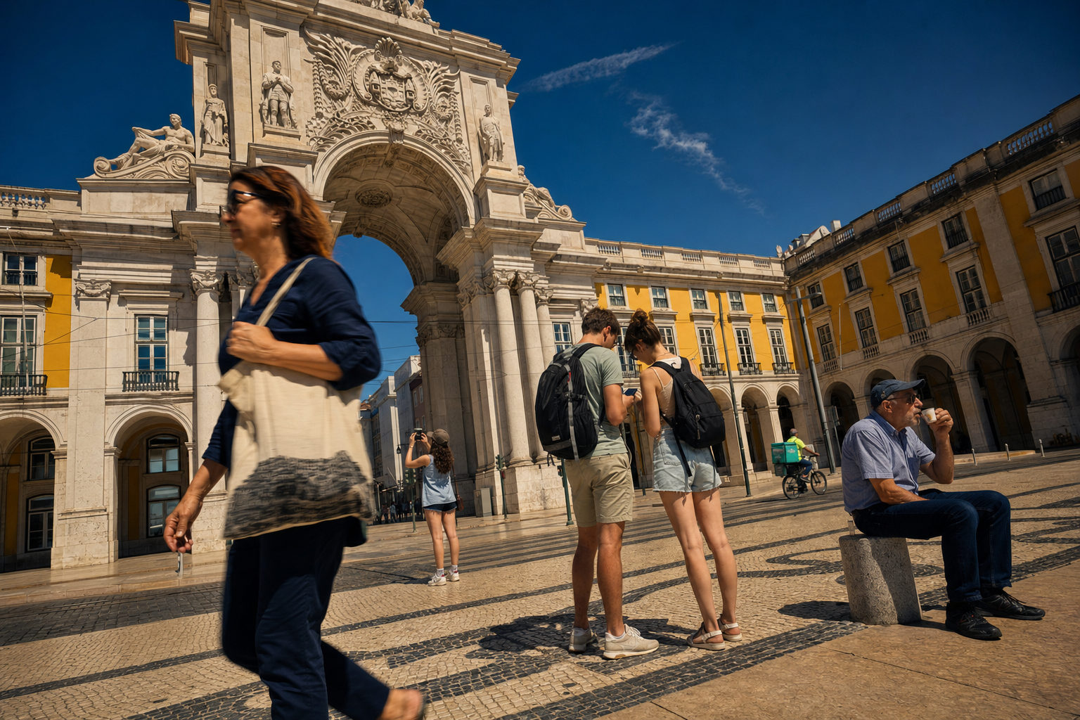
At 9:40 on the morning of 1 November 1755 — All Saints' Day, when most of Lisbon's population was inside a church — an earthquake estimated between 8.5 and 9 on the Richter scale struck the city. Three separate tremors, a tsunami, and fires that burned for five days killed between 30,000 and 40,000 people and levelled roughly 85% of the built environment. The Marquis of Pombal rebuilt the lower city from scratch on a rational Enlightenment grid — one of the first planned urban rebuilds in European history. But one neighbourhood didn't fall. Alfama, the ancient Moorish quarter, sat on solid schist bedrock and held. The street pattern you walk today is the one laid down before the 12th century. That single geological accident is the reason Lisbon feels unlike any other Western European capital: its oldest layers weren't buried under 19th-century renovation. They stayed visible, walkable, and inhabited. A long weekend in Lisbon — three full days, properly structured — is enough time to feel that depth across millennia of empire, faith, and fado. But only if you spend those days the right way.
Read more →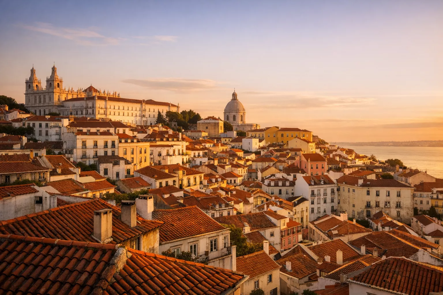
Discover the vibrant city of Lisbon, where history, culture, and gastronomy blend together perfectly. Whether you're a history buff, a foodie, or an adventurer, this guide will reveal the top things to do in Lisbon, along with links to exclusive local tours.
Read more →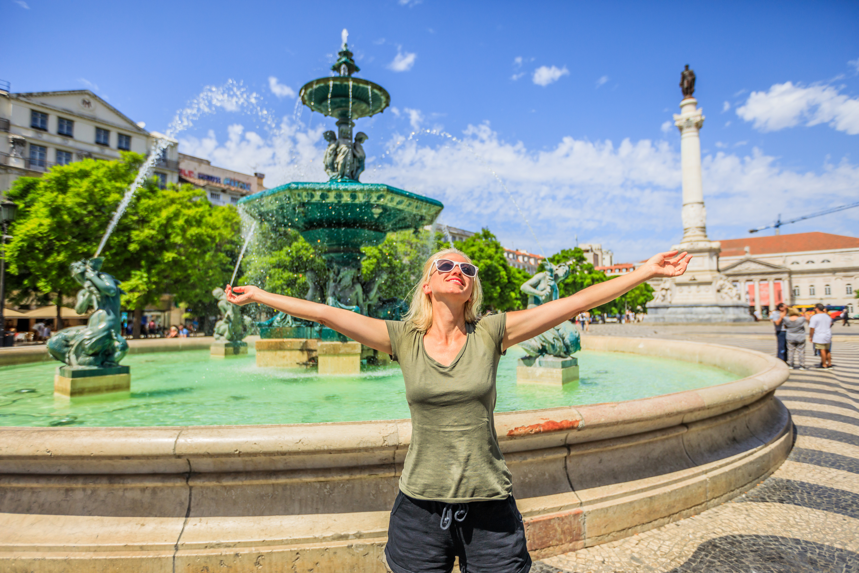
Lisbon, the capital city of Portugal, is a vibrant and enchanting destination that offers a perfect blend of history, culture, and natural beauty. From its picturesque neighborhoods to its stunning architectural landmarks, Lisbon has something to offer every traveler. Whether you have just a few days or a whole week, this city will captivate you with its charm and allure.
Read more →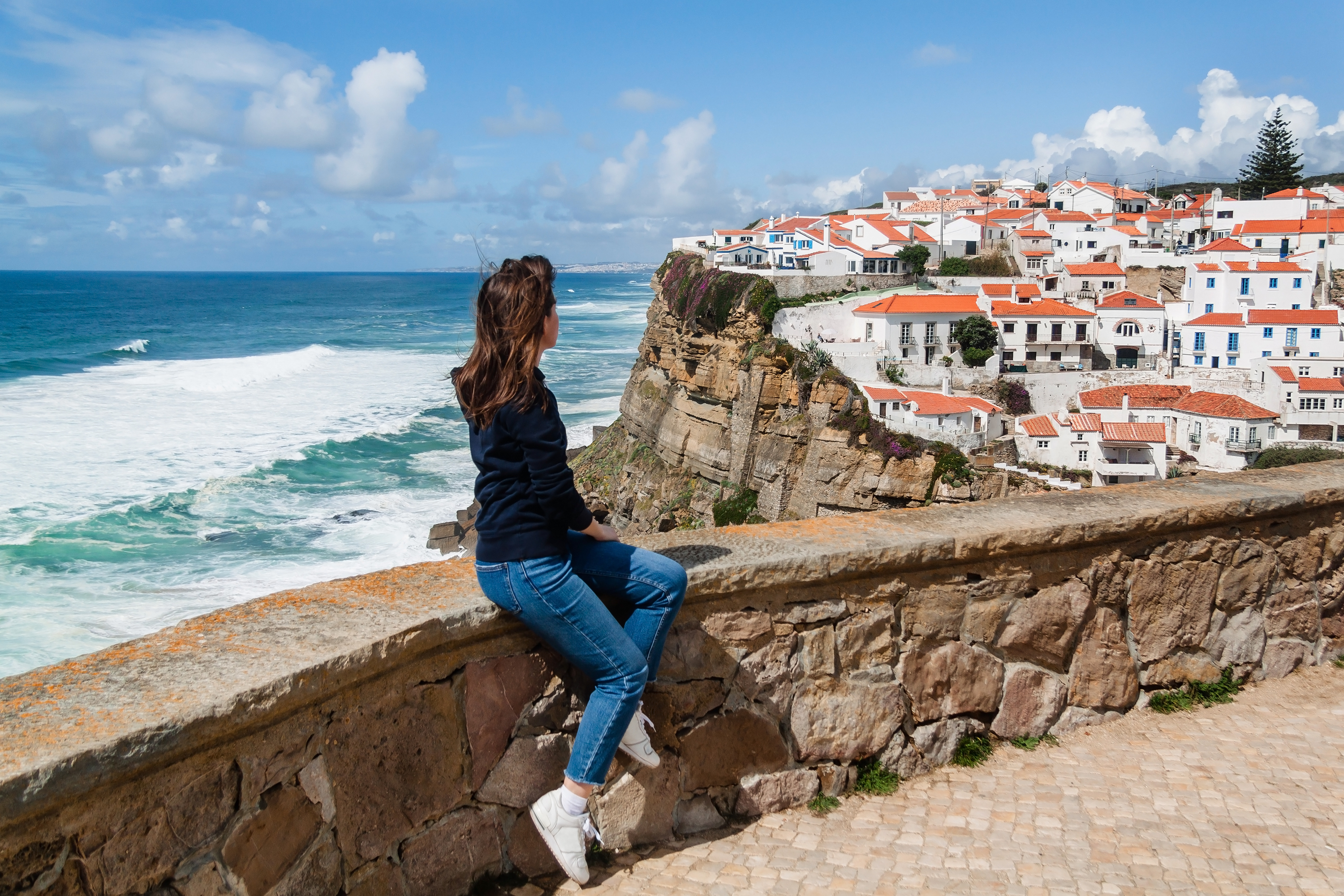
In the vicinity of Lisbon there are many beautiful villages and places to visit on day trips. At any time of the year, you can discover small towns, palaces, castles, beaches and beautiful landscapes. Signing up for a private tour with a local guide can be a very good option, so that you don't miss any detail, learn about history, while optimising time and money. Otherwise, it is also possible to do it on your own, thanks to public transport or rental cars. Which places do we recommend?
Read more →We use a single cookie, to remember this choice. We do not use analytics or advertising cookies. Read our cookie policy.